Lima Mountain

Lima Mountain
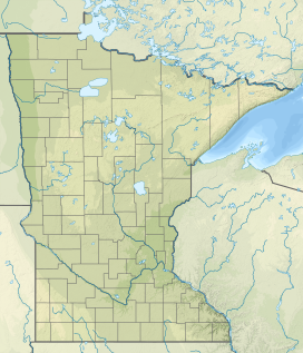
Cook County, Minnesota, U.S.
Lima Mountain is a 2238-foot summit in Cook County, Minnesota. It is located in the Lima Mountain Unit, a 2540-acre inventoried roadless area adjacent to the Boundary Waters Canoe Area.[1] There is a 1-mile trail to the summit, where a fire tower once stood.[2] Lima Mountain has a 328-foot rise over the saddle connecting it with the Misquah Hills High Point and Peak 2266.[3] A trail to the summit begins along the Lima Grade (Forest Route 315) just north of its junction with Lima Mountain Road (Forest Route 152)
References
- v
- t
- e
High points of Minnesota
- Eagle Mountain (2304 ft)
- Peak 2266 (2266 ft)
- Misquah Hills High Point (2260 ft)
- Lima Mountain (2238 ft)
- Point 2210 (2210 ft)
- Pine Mountain (2189 ft)
- Point 2163 (2163 ft)
- Point 2110 (2110 ft)
- Lundeen Mountain (2093 ft)
- Point 2246 (2246 ft)
- Gaskin Mountain (2245 ft)
- Point 2230 (2230 ft)
- Brule Mountain (2226 ft)
- Kelso Mountain (2100 ft)
 | This article about a location in Cook County, Minnesota is a stub. You can help Wikipedia by expanding it. |
- v
- t
- e


