Fair Snape Fell

Fair Snape Fell
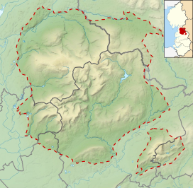
Location in the Forest of Bowland
Show map of the Forest of Bowland
Fair Snape Fell
Location in Lancashire
Show map of Lancashire
Fair Snape Fell
Location in Wyre Borough
Show map of the Borough of Wyre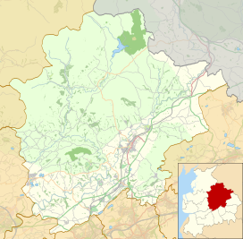
Fair Snape Fell
Location in Ribble Valley Borough
Show map of the Borough of Ribble ValleyWikimedia Commons has media related to Fair Snape Fell.
Fair Snape Fell is one of the larger hills in the Forest of Bowland in Lancashire, England. It reaches 521.9 m (1,712 ft) with a prominence of 226.2 m (742 ft) and is classed as a Marilyn.[1] It occupies a position in the very south of the main range of fells, alongside and just to the north of Parlick, to which it is joined by a ridge. The main paths approach the summit from Parlick in the south, Saddle Fell in the east and Bleasdale in the valley to the west. The Saddle Fell approach is as boggy as the hills to the north. The summit is covered in grass and peat groughs. A trig point and large cairn occupy the top of the western escarpment, with the highest point being about 700 metres (770 yd) to the north-east.
The word snape means "pasture"; thus Fair Snape Fell means "fell of the fair (beautiful) pasture".[citation needed]
Considerable areas of the Bowland fells were used for military training during World War II and there are still unexploded bombs in some areas, including nearby Wolf Fell.[citation needed]
-
 Fair Snape Fell (left) and Parlick (right) viewed from the west
 -
 View from the trig point on Fair Snape Fell, looking down on Parlick.


References
- ^ a b "Fair Snape Fell". Hill Bagging. Database of British and Irish Hills. Retrieved 2 February 2024.
- v
- t
- e
Marilyns of Northern England
- The Cheviot
- Housedon Hill
- Long Crag
- Peel Fell
- Ros Hill
- Shillhope Law
- Sighty Crag
- Tosson Hill

- Blake Fell
- Dale Head
- Dent
- Grasmoor
- Great Gable
- Grisedale Pike
- High Stile
- Kirk Fell
- Lord's Seat
- Low Fell
- Mellbreak
- Pillar
- Robinson
- Seatallan
- Swinside
- Watch Hill
Southern Lakeland
and Durham
- Burnhope Seat
- Cold Fell
- Cross Fell
- Dufton Pike
- Mickle Fell
to the Humber
- Easington Fell
- Fair Snape Fell
- Longridge Fell
- Ward's Stone
- White Hill
 | This Lancashire location article is a stub. You can help Wikipedia by expanding it. |
- v
- t
- e


